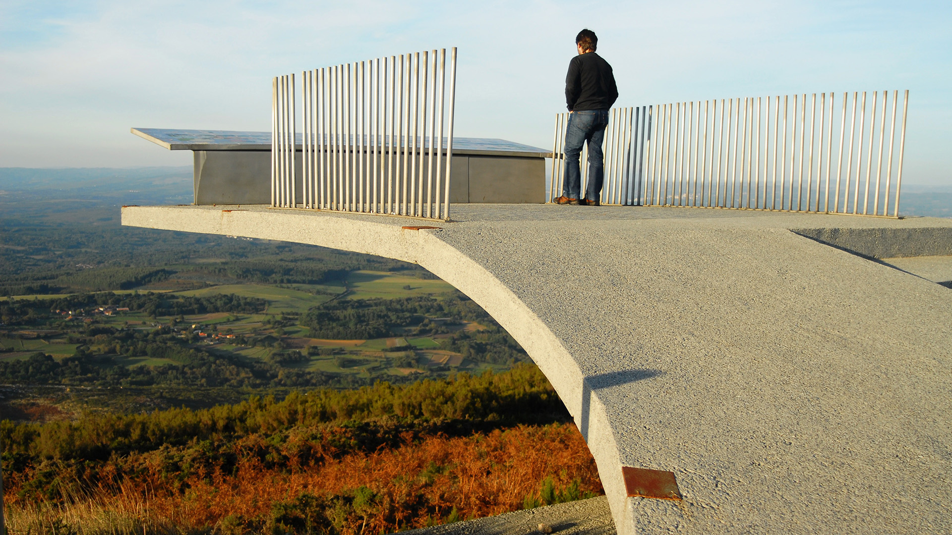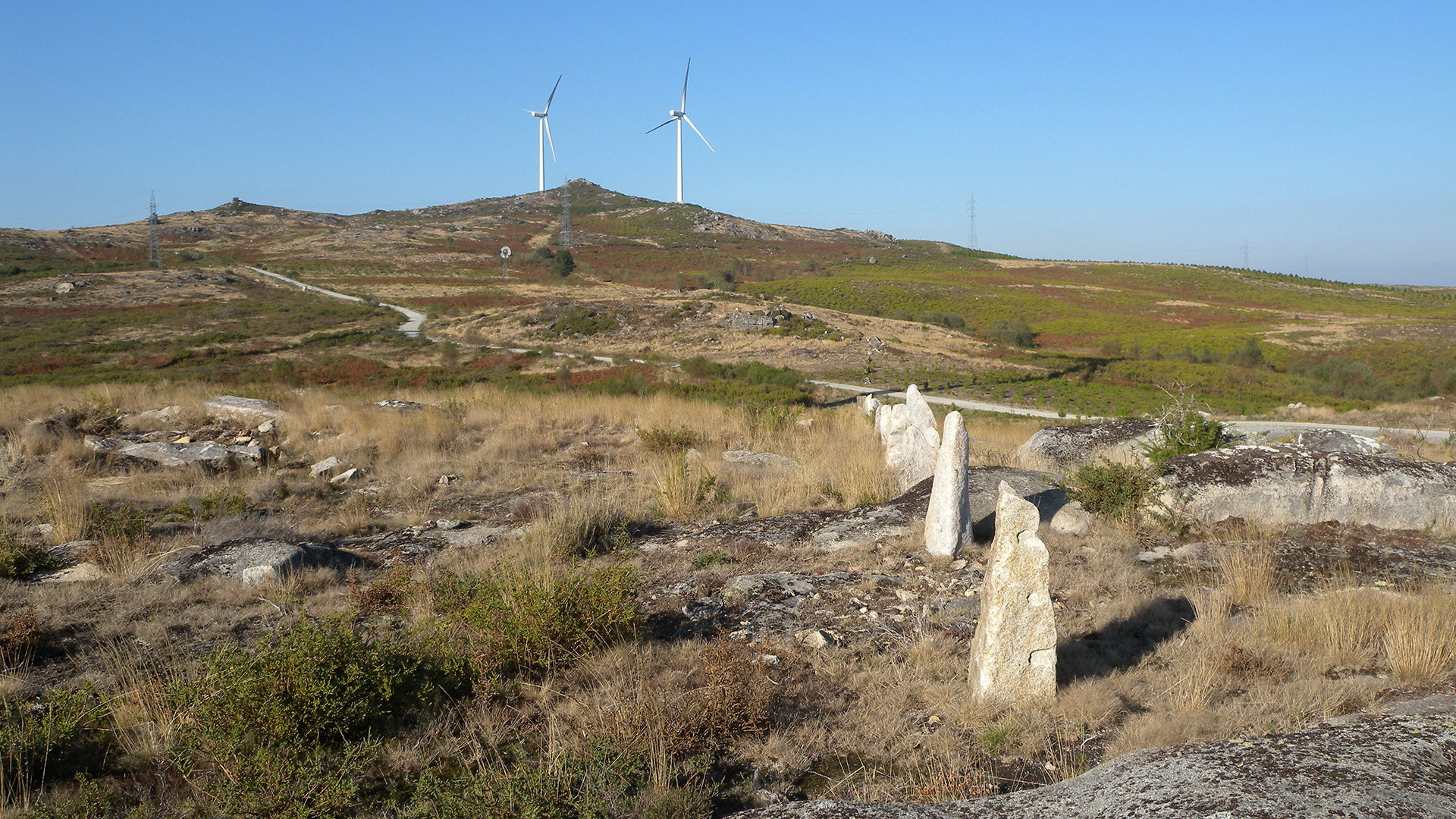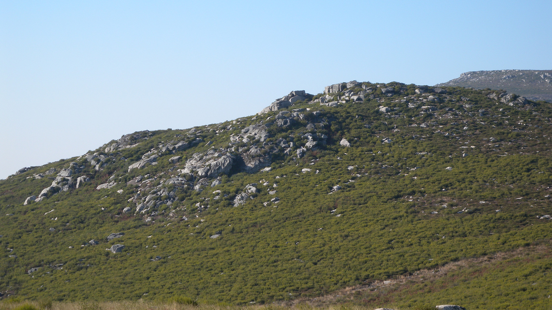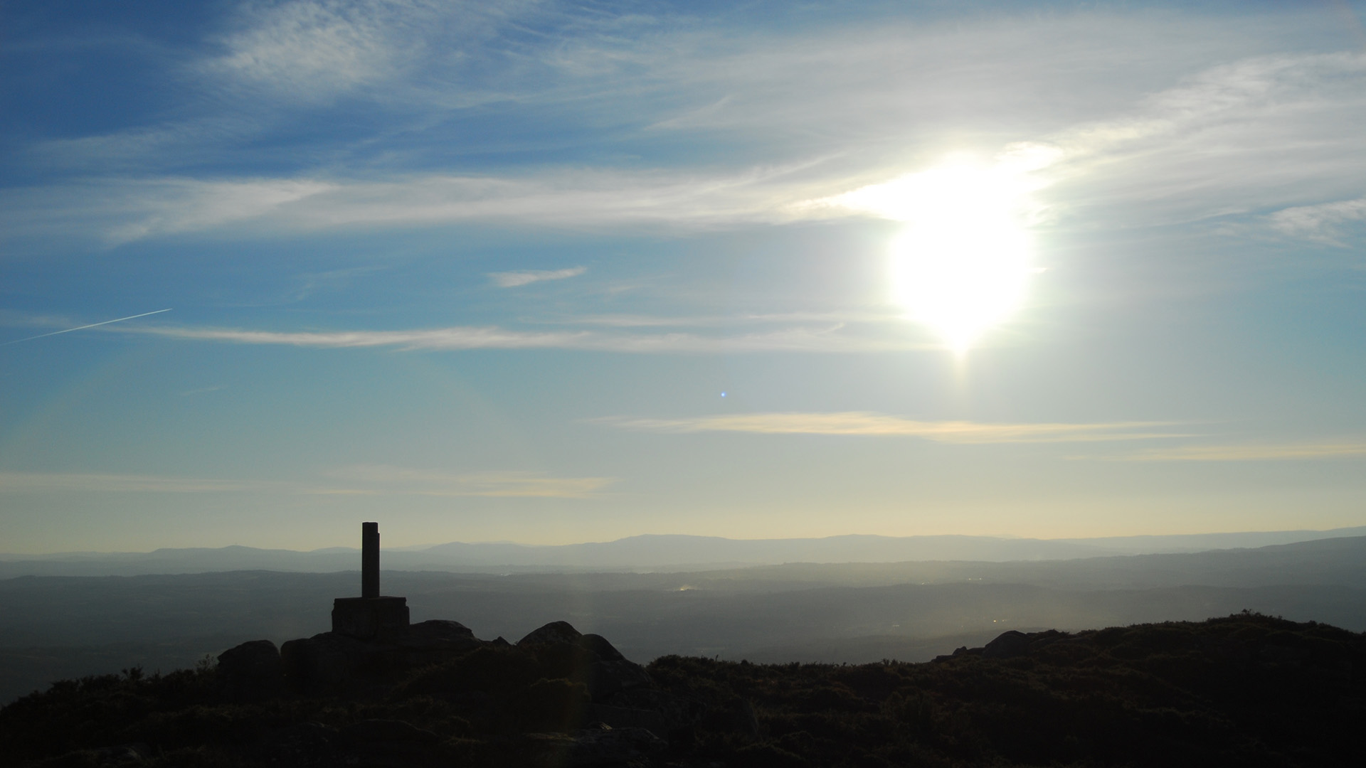


At around 950 metres above sea level lies the Monte Farelo viewpoint, a privileged location that marks the natural boundary between the provinces of Lugo and Pontevedra, within the municipalities of Agolada and Antas de Ulla. The summit of Farelo, at 952 metres, acts as a territorial vertex between both regions and has historically served as a strategic point for surveillance and control of the routes connecting Deza and A Ulloa. Today, the site includes a viewing platform with a protective railing that allows visitors to enjoy the landscape safely.
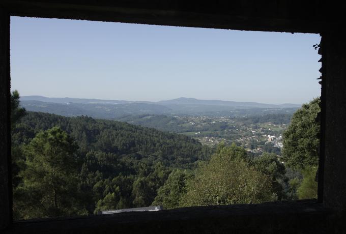
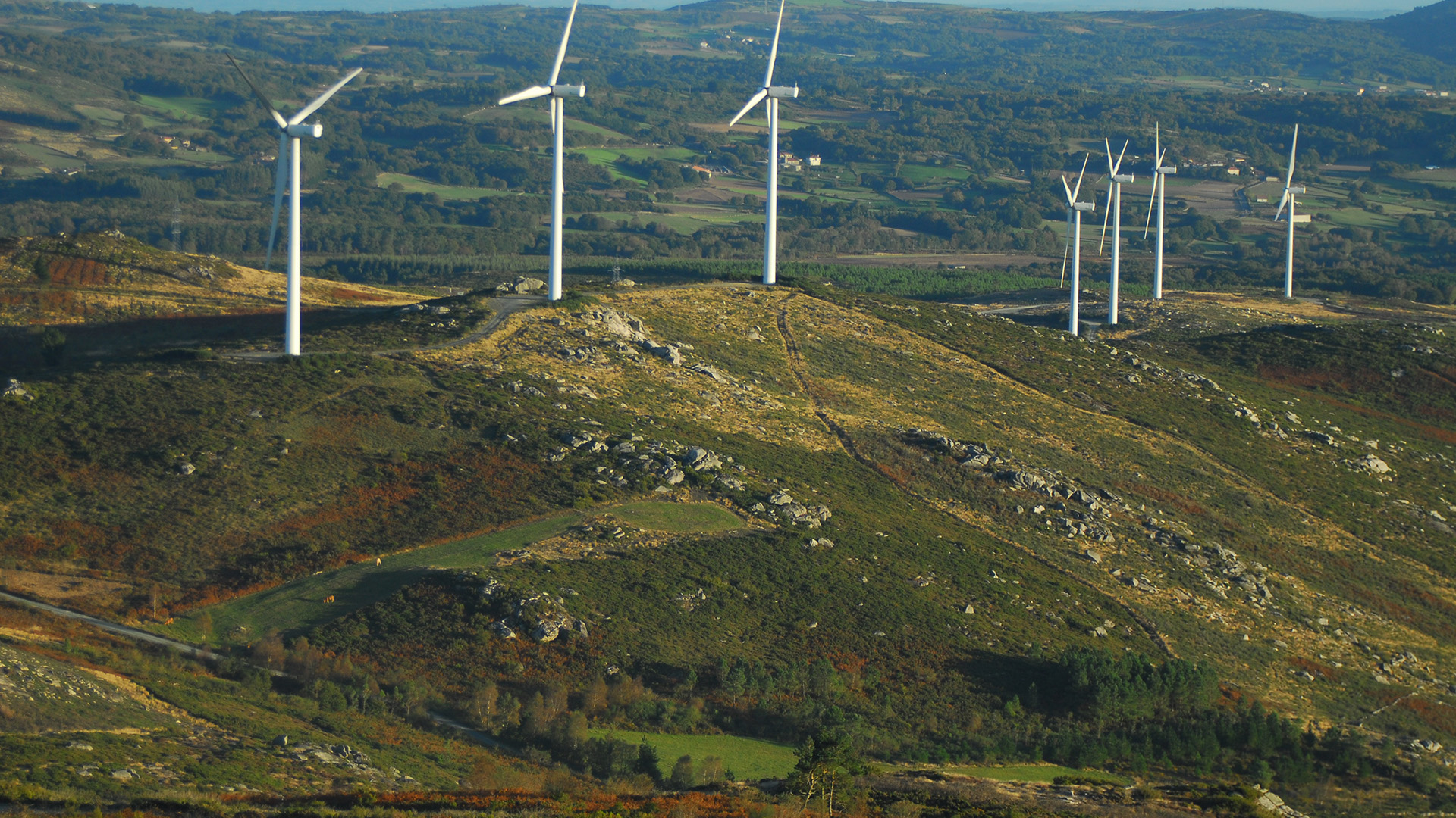
This relief forms part of a mountain alignment located in the shadow of the nearby and better-known Serra do Faro. From O Farelo, a wide panorama of central Galicia unfolds, characterised by a mosaic of agricultural and livestock landscapes interspersed with forest areas and crossed by numerous rivers and streams that structure the territory. Its elevated and open position makes it an excellent natural observatory of the inland Galician landscape.
One of the most remarkable features of Monte Farelo is the possibility of seeing the four Galician provinces in a single 360-degree panorama on clear days. To the north, the Serra do Careón, near Melide, can be distinguished, and even the distant Serra do Xistral; to the east lie the Ancares mountains of Lugo; to the south rises the Serra do Faro, and to the west the Serra do Candán visually closes the Deza region. This combination of height, centrality and wide visual range makes Farelo one of the best natural viewpoints in inland Galicia.
The breadth of its views and the sensation of an open horizon make this place especially attractive for those who wish to contemplate the landscape of inland Galicia from a privileged perspective.